Marine Ways Boating is the ultimate marine navigation and planning application.
Marine Ways Boating is the ultimate marine navigation and planning application! In this application you will gain access to:
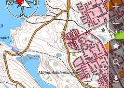
FREE NAVIGATIONAL CHARTS
- United States charts provided by National Oceanic and Atmospheric Administration (NOAA)
- New Zealand charts provided by Land Information New Zealand (LINZ)
Chart types:
- NOAA Electronic Navigational Charts (ENC) (NOAA's newest and most powerful electronic charting product).
- NOAA classic charts (including ...
Redirecting to a secure site. We are checking If the link is working. Please wait...
You can report broken links into broken@dailydownloaded.com. Our editors will review them shortly.
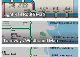
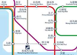
Offline line maps for Hong Kong.
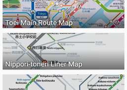
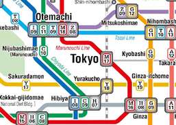
Offline line maps for Tokyo.
Easy to use Outdoor/Offline GPS navigation app with access to the best topographic maps and satellite images for Australia.
Features...
This application is GPS and coordinate systems helper especially for military personnel.